

Loading, please wait...
Loading, please wait...
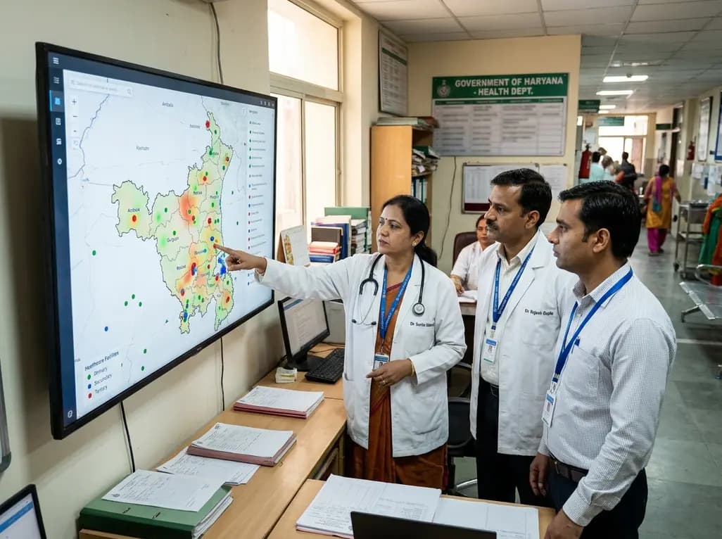
The Government of Haryana has launched a transformative statewide initiative to integrate its medical facilities onto a unified digital platform. This ambitious public healthcare mapping project combines cutting-edge Geographic Information System (GIS) technology with administrative records. Consequently, citizens can locate nearby civil hospitals, primary health centres, sub-centres, and Ayush dispensaries with minimal effort. In addition, this initiative allows state authorities to evaluate health delivery patterns with precision.
Historically, administrative divisions managed public health infrastructure through fragmented departmental records. The Department of Health and Family Welfare, the Ayush Department, and the Department of Medical Education and Research functioned in institutional silos. However, this fragmented approach often created administrative blind spots during critical policy planning. The new GIS architecture resolves this operational friction by merging all facility records into one centralized geo-database.
Furthermore, the Haryana Space Applications Centre serves as the technical nodal agency for this ambitious platform. Technicians from HARSAC capture high-resolution geospatial coordinates, institutional attributes, and real-time facility photographs for every center. As a result, the database presents a reliable digital inventory of rural sub-centres, community hospitals, and medical colleges.
Additionally, healthcare providers gain clear visibility across surrounding referral tiers. A primary care physician can instantly identify nearby specialized tertiary centers for emergency transfers. Similarly, Ayush practitioners can coordinate wellness interventions alongside conventional medical centers. Therefore, this inter-departmental convergence eliminates redundancies and improves cross-functional clinical collaboration. In fact, state health officials can now cross-reference staffing levels against local population density. This transparency fosters stronger administrative governance across every district.
Patient navigation presents significant obstacles across rural and semi-urban communities. Frequently, rural families travel long distances to crowded tertiary hospitals because they lack reliable information about local primary health centres. However, this GIS platform empowers patients and their caregivers to locate nearby facilities instantly. Users can view essential institutional credentials, operating hours, and service capabilities before leaving their homes.
Consequently, enhanced public visibility reduces avoidable overcrowding at tertiary medical institutions. When local patients utilize functional primary health centres for minor ailments, district hospitals can focus resources on complex acute cases. In addition, emergency medical personnel benefit directly from real-time spatial intelligence during critical transit. Ambulance teams can rapidly evaluate route conditions and identify the nearest emergency surgical unit.
Furthermore, general practitioners working in rural clinics can coordinate patient referrals with greater diagnostic confidence. Because the digital directory lists specific diagnostic equipment and specialist availability, doctors avoid sending patients to facilities lacking necessary resources. Therefore, the spatial portal bridges the persistent communication divide between primary health workers and secondary referral hospitals. This systematic integration delivers rapid medical triage across the entire public care continuum.
Evidence-based spatial analysis transforms conventional healthcare governance into proactive public resource planning. For many years, administrators faced substantial barriers when measuring geographic equity in medical service delivery. However, public healthcare mapping exposes critical disparities in regional infrastructure with geographic precision. By overlaying demographic census data onto facility maps, planners can identify underserved rural hamlets and emerging urban clusters.
Moreover, this analytical capability enables policymakers to direct state investments toward vulnerable communities that lack essential clinics. If a remote block exhibits elevated infant mortality, administrators can check whether nearby sub-centres provide active maternal health services. Therefore, health authorities can prioritize the construction of new delivery suites or deploy mobile medical units directly to those regions.
Additionally, the state can monitor clinical workforce distribution across diverse geographies. When remote health posts face chronic vacancies, district health officers can reassign personnel based on real-time spatial demand. Thus, geospatial monitoring prevents unnecessary infrastructure duplication while actively filling geographical voids. In summary, spatial intelligence guides fiscal and structural allocations, guaranteeing that disadvantaged populations receive comprehensive clinical care without geographical penalty.
Haryana's geospatial health platform aligns seamlessly with India's broader digital health agenda. Specifically, the Ayushman Bharat Digital Mission emphasizes creating comprehensive national registries for healthcare facilities and verified medical practitioners. By compiling accurate institutional data at the state level, Haryana establishes an ideal foundation for national digital interoperability.
Furthermore, this digital integration facilitates efficient epidemiological surveillance and rapid disease outbreak management. During infectious disease outbreaks, public health officers can correlate laboratory diagnostic reports with geographic facility coordinates. Consequently, state epidemiologists can trace pathogen clusters, track disease spread, and deploy targeted containment protocols within hours.
Similarly, chronic non-communicable disease management benefits substantially from coordinated geospatial oversight. Clinicians can track the prevalence of hypertension, diabetes, and cardiovascular disorders across distinct postal zones. As a result, primary care networks can deliver proactive lifestyle interventions and targeted medical supplies to high-prevalence areas. In addition, the shared digital database supports inter-agency communication between the health department and rural development authorities. Therefore, this technological leap creates a resilient, future-ready public health ecosystem that protects community health across all demographics.
While geospatial mapping offers immense public health benefits, administrators must overcome several operational hurdles during execution. First, maintaining real-time data integrity requires constant vigilance from local facility in-charges. If institutional details, medical equipment inventories, or doctor rosters change, facility managers must update the central database promptly. Otherwise, citizens might encounter obsolete information when searching for emergency care.
Furthermore, state agencies must ensure robust digital literacy and reliable internet access across rural peripheral areas. Sub-centre auxiliary nurse midwives and community health officers require periodic training to navigate and update GIS interfaces comfortably. In addition, government developers must design intuitive citizen-facing mobile applications that support regional languages and low-bandwidth connections.
Moreover, protecting sensitive health data and critical institutional infrastructure remains paramount. While basic institutional locations belong in the public domain, specific administrative credentials demand stringent cybersecurity protections. Therefore, HARSAC and the health department must implement rigorous data governance protocols to secure the spatial architecture. By proactively resolving these technical and human resource challenges, Haryana can establish a benchmark model for digital public health infrastructure in India.
Q1: What is the main objective of Haryana's public healthcare mapping platform?
The main objective is to consolidate fragmented healthcare records from Health, Ayush, and Medical Education departments into a unified digital map. This Geographic Information System platform allows citizens to locate government hospitals, dispensaries, and health centres with a single click. Furthermore, it supplies state administrators with real-time geospatial intelligence to detect infrastructure gaps, deploy clinical staff efficiently, and prioritize future healthcare investments in underserved rural and semi-urban communities.
Q2: How does geospatial mapping improve clinical referrals for practicing doctors?
Geospatial mapping provides primary care doctors with transparent, up-to-date information regarding nearby secondary and tertiary medical institutions. Clinicians can instantly check facility capabilities, bed availability, and specialized diagnostic equipment before dispatching patients. Consequently, this visibility reduces inappropriate referrals, eliminates critical transit delays during emergencies, and ensures that patients reach suitable facilities promptly. In addition, rural practitioners can collaborate more effectively with district specialists across integrated public health networks.
Q3: What specific role does HARSAC play in executing this healthcare initiative?
The Haryana Space Applications Centre serves as the technical nodal agency responsible for designing, deploying, and maintaining the central GIS database. HARSAC specialists collect accurate satellite coordinates, capture facility photographs, and build interactive digital layers for every medical institution. Moreover, the agency establishes secure data-sharing frameworks between distinct administrative bodies. This technical stewardship ensures reliable system performance, robust cybersecurity protections, and seamless interoperability with broader national e-governance platforms across the state.
Disclaimer: This content is for informational and educational purposes only. It does not constitute medical advice or replace professional judgment. Refer to the latest local and national guidelines for clinical practice.
References
Read summarized clinical updates, watch expert medical content, and earn CME certifications right from your smartphone.
Open your smartphone camera to scan and install.





The Haryana government has initiated a state-wide geospatial mapping project that integrates primary, secondary, and tertiary public healthcare assets. By consolidating data from Health, Ayush, and Medical Education departments into a single portal, the state aims to eliminate service disparities and streamline care.
Today
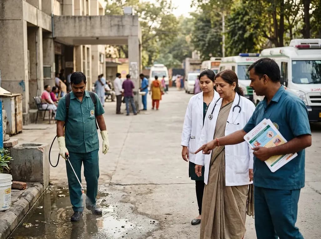
Delhi civic authorities have cleared 1,066 contractual public health posts and a Rs 923.6-crore road-sweeping initiative to tackle vector-borne illnesses and air pollution. Learn how enhanced entomological surveillance, anti-larval drives, and dust control bolster community preventive medicine and clinical outcomes.
Today
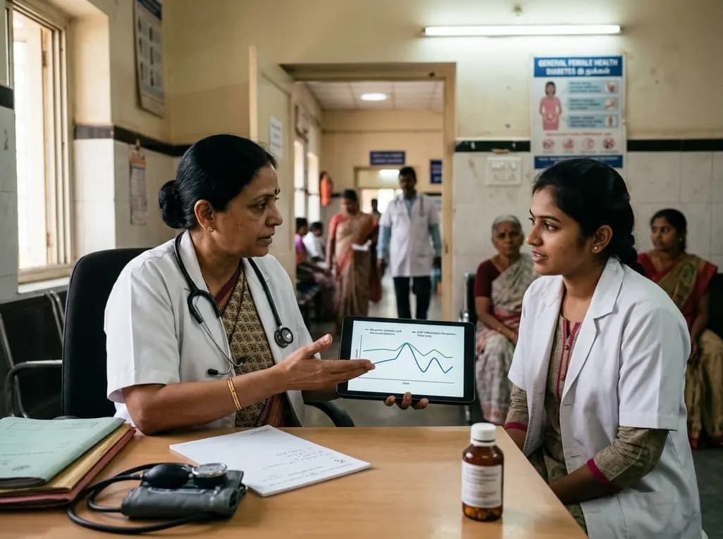
Medical experts caution that GLP-1 receptor agonists offer metabolic support rather than a curative answer for polyendocrine metabolic ovarian syndrome. Clinicians must evaluate glycemic markers, reproductive plans, and lifestyle interventions while discouraging unsupervised medication use among female patients.
Today

A retrospective CAHAL study comparing Amplatzer and Occlutech devices in 413 patients found no significant difference in moderate-to-large residual shunt rates at 6 months follow-up after percutaneous PFO closure, supporting clinical equivalence between both platforms.
Today
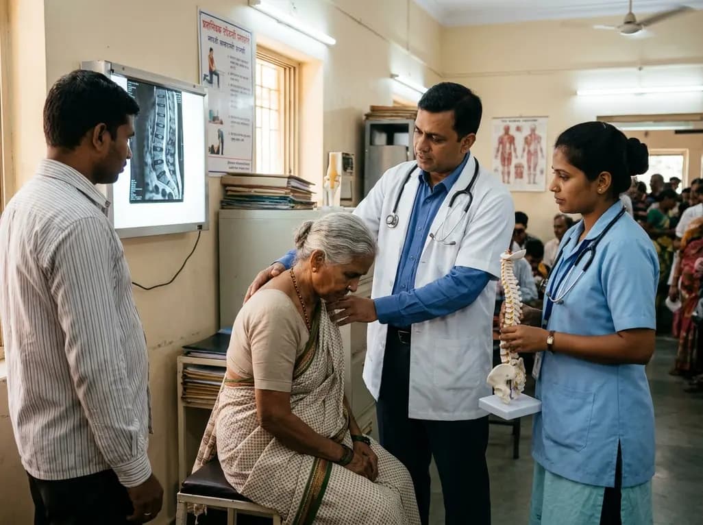
Age-related spinal kyphosis is driven by vertebral fragility, disc degeneration, and paraspinal muscle dysfunction. Coexisting with locomotive syndrome and frailty, its management requires combined anti-osteoporotic therapy, spinal extensor rehabilitation, and comprehensive nutritional optimization.
Today
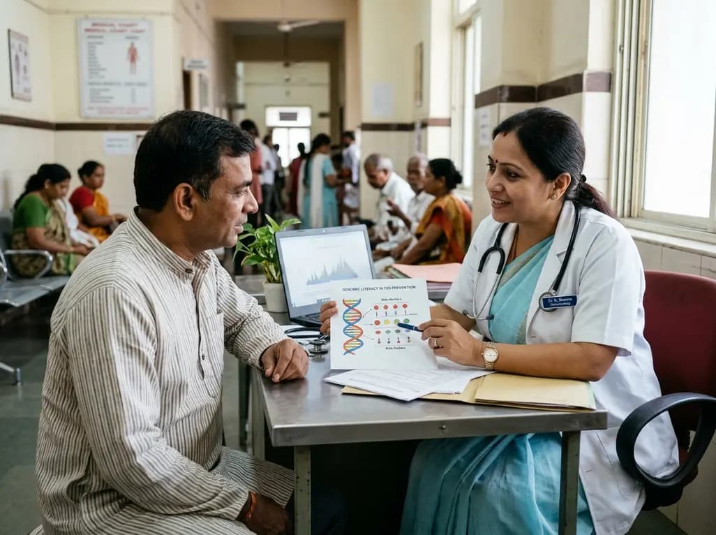
A longitudinal feasibility pilot study highlights that combining polygenic risk score disclosure with in-person lifestyle counseling significantly enhances genomic literacy in individuals at risk for type 2 diabetes, overcoming educational disparities and reinforcing patient motivation.
Today
